Introduction:
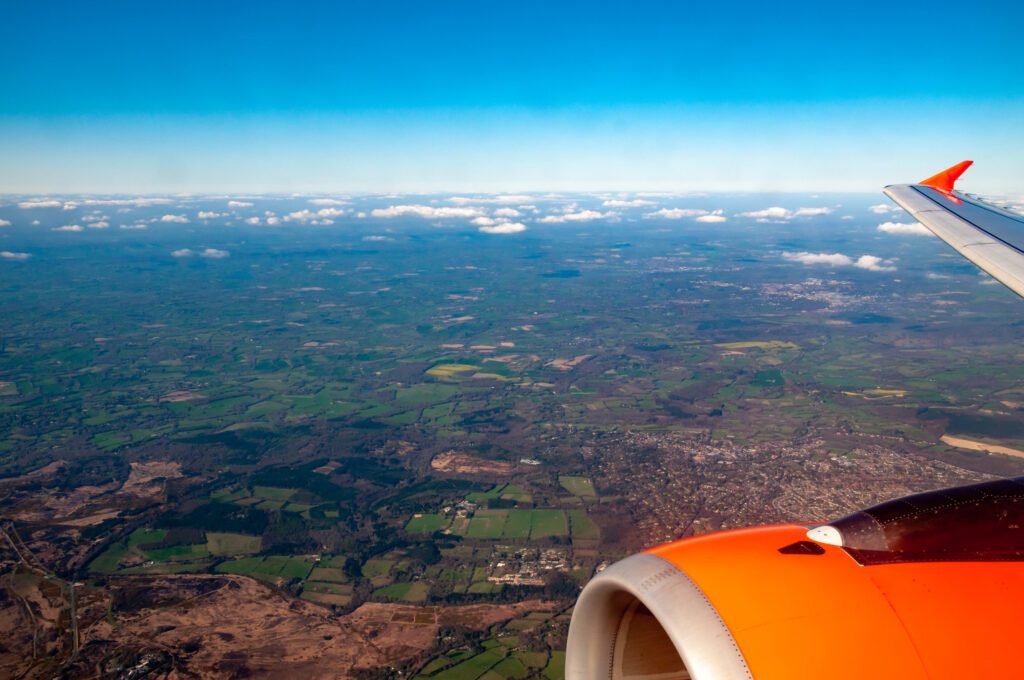
From towering mountains to sprawling cities, our world is a tapestry of stunning landscapes and intricate details waiting to be discovered from above. Aerial photography and mapping offer a unique perspective, allowing us to explore and document the Earth’s beauty from the vantage point of the skies. In this blog post, we’ll embark on a journey into the fascinating world of aerial photography and mapping, uncovering the technology, techniques, and applications that make it possible to capture the world from above.
The Rise of Aerial Imaging Technology:
Advancements in technology have revolutionized aerial imaging, making it more accessible and versatile than ever before. Unmanned aerial vehicles (UAVs), also known as drones, equipped with high-resolution cameras and GPS technology, have become indispensable tools for capturing aerial photographs and creating detailed maps. These drones offer unprecedented flexibility and maneuverability, allowing photographers and cartographers to capture stunning aerial images and gather geospatial data with precision and efficiency.
Applications in Mapping and Cartography:
Aerial photography and mapping play a crucial role in cartography, urban planning, environmental monitoring, and disaster response. By capturing detailed aerial images and data, cartographers can create accurate maps, 3D models, and digital terrain models (DTMs) that provide valuable insights into land use, terrain features, and infrastructure. These maps serve as invaluable tools for urban planners, architects, emergency responders, and government agencies, enabling informed decision-making and resource allocation.
Creative Expression and Visual Storytelling:
Beyond its practical applications, aerial photography is also a powerful medium for creative expression and visual storytelling. Aerial photographers use drones to capture breathtaking images of landscapes, landmarks, and cityscapes from unique perspectives, showcasing the beauty and diversity of our planet from above. Whether it’s capturing the majesty of natural wonders or documenting the dynamic patterns of urban life, aerial photography allows artists to convey emotions, evoke curiosity, and inspire appreciation for the world around us.
Challenges and Considerations:
While aerial photography offers unparalleled opportunities for exploration and creativity, it also presents unique challenges and considerations. Factors such as weather conditions, airspace regulations, privacy concerns, and safety risks must be carefully considered when planning aerial photography missions. Additionally, photographers and cartographers must adhere to ethical guidelines and legal requirements governing the use of aerial imagery, respecting the rights and privacy of individuals and communities depicted in their photographs.
The Future of Aerial Imaging:
As technology continues to evolve, the future of aerial photography and mapping holds exciting possibilities. Advancements in drone technology, artificial intelligence, and remote sensing are enabling new applications and capabilities in aerial imaging, such as automated image processing, real-time data analytics, and immersive virtual reality experiences. With these innovations, the realm of aerial photography and mapping will continue to inspire exploration, discovery, and appreciation for the beauty of our planet from above.
Conclusion:
Aerial photography and mapping offer a captivating glimpse into the world from a bird’s-eye view, allowing us to marvel at the Earth’s beauty and complexity from above. Whether it’s creating detailed maps for urban planning or capturing stunning images for artistic expression, aerial imaging technology has opened new horizons for exploration and creativity. As we continue to push the boundaries of aerial photography and mapping, the possibilities for discovery and storytelling are limitless, inviting us to explore the world from above with wonder and awe.


